
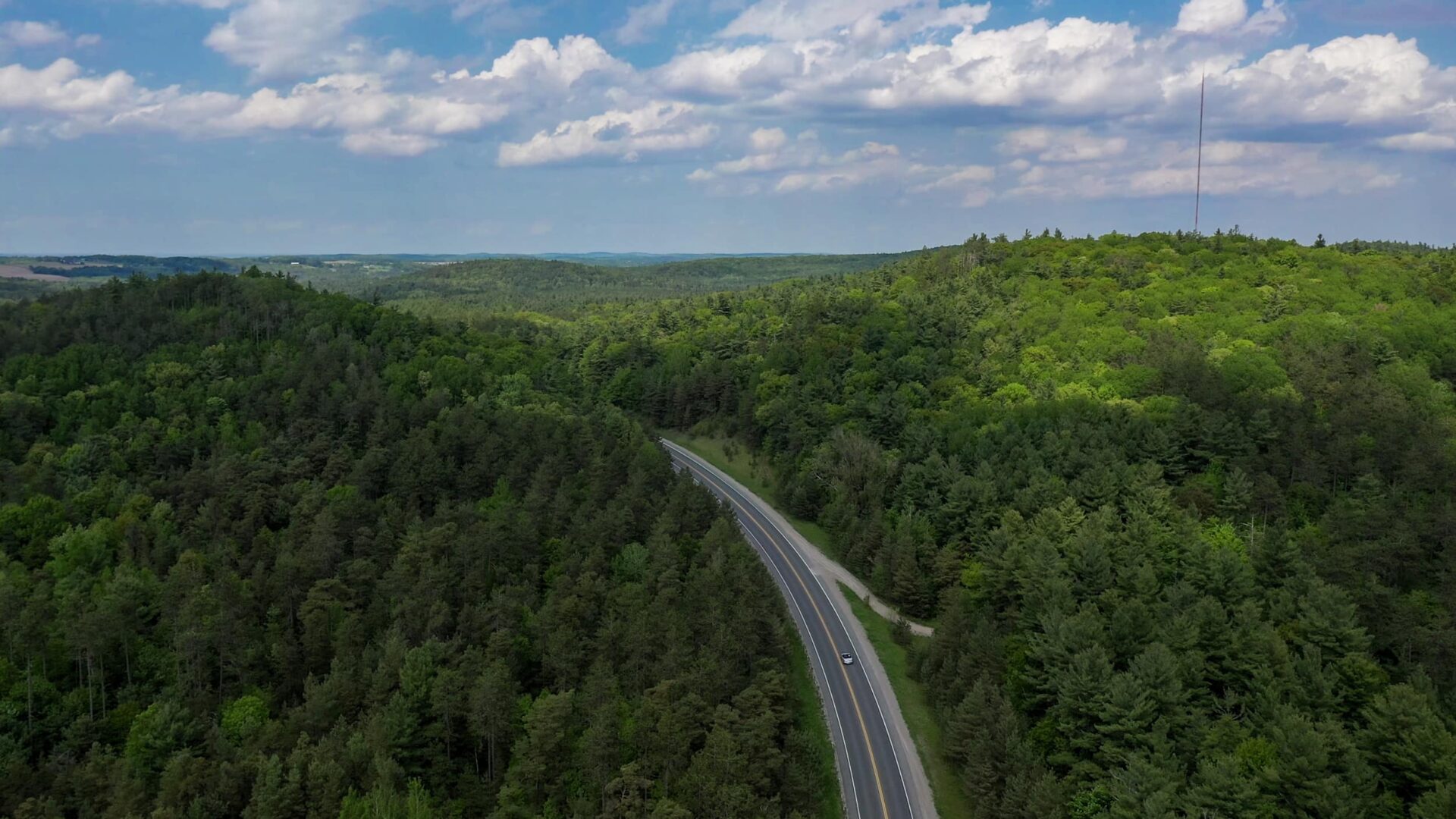
2000 square kilometres of unplugged adventures, offline memory-making and picturesque peace.
Located just over an hour from the eastern edge of Toronto, Northumberland County covers over 2000 square kilometres of Ontario. The rolling hills are home to farmland and forests and the small towns are friendly, welcoming and offer arts, entertainment, culture, shopping and great places to eat, not to mention great beaches, cycling trails, hiking hot spots, cross-country skiing havens and all the outdoor adventure you could want. An easy and enjoyable car ride or take the train to stops in Port Hope and Cobourg.
Road Trips
Printable & Accessible Maps
Explore downtown Port Hope and the municipality over this 40km route.
Download the printable, accessible map.
From the charming downtown of Cobourg to the beautiful views of Rice Lake, this 60km route is a perfect day trip.
Download the printable, accessible map.
Explore the artistic treasures and lovely views through Trent Hills on this 62km route.
Download the printable, accessible map.
Tour 60km of the east end of Northumberland County for a taste of apple country and a trip to the beach.
Download the printable, accessible map.
A 75km route that will satisfy all your food cravings with beer, donuts, cheese and a side of stunning views.
Download the printable, accessible map.
Take to the roads with your motorcycle for a tour of Northumberland County. Do the full tour or select the east or west portion for a shorter visit.
Download the printable, accessible map.
Things to Do
Printable & Accessible Maps
For the water lovers, here’s a guide that points you to Northumberland beaches and great places to get out on the water.
Download the printable, accessible map.
Northumberland is paradise for those who want to spend time on the water. Choose from one of 16 boat launches and marinas.
Download the printable, accessible map.
Get away for some relaxation. This guide will give you some options for a road trip filled with spas and wellness activities.
Download the printable, accessible map.
Get information on the Northumberland portion of the Greenbelt Route, Waterfront Trail and Ganaraska Trail, as well as the forest trails in the region. Great for cycling or hiking.
Download the printable and accessible map.
There are so many trails to discover in Northumberland. This guide will give you a great start and help you pick where you explore next.
Download the printable, accessible map.
Cast off in one of Northumberland’s desirable fishing locations.
Download the printable, accessible map.
Cycling
Printable & Accessible Maps
The shortest route of our 5 signed cycling loops at 30km will take you through the Municipality of Port Hope and into the downtown.
Download the printable, accessible map.
A 69km route taking you through Brighton and Colborne with the option to ride in Presqu’ile Provincial Park.
Download the printable, accessible map.
Take a 74km road cycling trip from Cobourg, north to Rice Lake and back down.
Download the printable, accessible map.
A 50 km route running from Grafton, through the rolling hills of Alnwick Haldimand Township and into Colborne. Download here.
Download the printable, accessible map.
This 63km cycling route will take you through farmland vistas and through the Campbellford area.
Download the printable, accessible map.